
Walk Johnson City Addresses
The most reliable Johnson City street directory workflow begins with a physical address, not a name. The county assessment roll helps normalize the address and supplies the parcel identifiers. The county and city map services add geometry and jurisdiction. A recorded deed can then connect the parcel to a legal transfer, while voter and historical directory tools serve narrower, dated checks. Ownership, mailing contact, and occupancy are different facts, so record each one separately rather than treating a single search result as an answer to every question.
- Search the address in Tennessee Property Assessment Data. Try the street name without a number when a street-wide pass is needed, then sort by Property Address and save the control map, group, parcel, and owner shown.
- Enter the address, property ID, or owner in the Washington County GIS viewer. Compare the selected parcel with the property address before using adjacent map features.
- Use the Johnson City parcel and address layers to check the parcel's jurisdiction, map link, zoning, and service-address context. A polygon is a land record, not a list of people inside a building.
- Take the owner name, legal description, and prior-deed reference to the Washington County Register of Deeds. Follow the recorded transfer backward by grantor and grantee, keeping the book, page, or document reference with each step.
- For a dated household clue, ask the Tennessee Room whether it has an address-keyed or criss-cross directory for the needed period. Then compare its publication-year entry with a census, deed, or newspaper source.
That sequence makes a Johnson City street search auditable. It also prevents a mailing address or a publication entry from being mistaken for proof that a person currently lives at the parcel.
Johnson City Parcel Search
Washington County's assessment record is the practical starting point for a Johnson City street directory because the TPAD advanced form accepts an owner, property address, subdivision, classification, sale-date range, and parcel components. The address field accepts a street name with the number optional, which is useful for checking several properties on one road. The visible sort choices include Property Address, so the result order can support a careful street-by-street review. TPAD does not expose a ZIP field in its inspected advanced form.
| TPAD field | Type | Required | Use for a Johnson City street search |
|---|---|---|---|
| County | Dropdown | Search context | Choose Washington County. |
| Search Term | Text | Not labeled | Accepts a property address, owner name, or parcel ID. |
| Owner | Text | Optional | Examples shown are John Smith or J Smith. |
| Property Address | Text | Optional | Enter a street such as Main St; a number is optional. |
| Subdivision Name | Text | Optional | Use a named subdivision when it is known. |
| Classification | Dropdown | Optional | The accessible page did not publish the full option list. |
| Sale Date Start and End | Date pair | Optional | Narrow results by a recorded sale-date range. |
| Control Map | Text | Optional | Three numbers, with up to two optional letters. |
| Group | Text | Optional | Up to two optional letters. |
| Parcel | Text | Optional | Five digits, with an optional decimal after the third digit. |
| Sort By | Choice | Optional | Owner Name, Property Address, Parcel ID, Subdivision, Classification, or Sale Date. |
TPAD results display Johnson City-area owner, property address, control map, group, parcel, parcel ID, subdivision, lot, class, special interest, and sale date. The displayed tax roll is official as of January 1. A deed filed after that date can make the Register's transfer date look newer than the tax-roll owner, without making either record wrong.
Note: Save both the property address and parcel identifiers before changing search terms, because a street label alone is a weak link in an older record trail.
Johnson City GIS Layers
The county GIS search accepts a property ID, address, or owner. Johnson City's public TaxParcels layer is broader than one county: it carries parcels in the city's service area across Washington, Sullivan, Carter, and Unicoi counties. Its available fields include owner, Jan. 1 owner, address, tax year, map and group, GIS link, acres, jurisdiction, zoning, subdivision, and utility information. Use the jurisdiction and CityLimits layers before describing a mapped parcel as inside Johnson City.
The Johnson City TaxParcels service documents the parcel layer and its regional coverage.
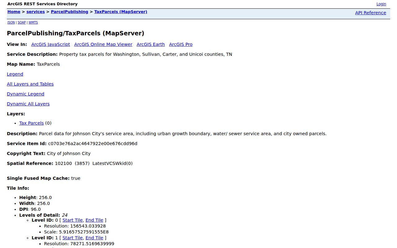
Parcel boundaries and the GISLINK help carry a Johnson City street search from a map click back to the assessment roll. The City Site Address Points layer adds FULLADDR, municipality, school, fire, police, code, floodplain, historic, and overlay fields, but those are service and geography facts rather than evidence of a household.
Johnson City Street Records
A usable Johnson City street directory combines records that are keyed to an address with records that are keyed to a legal parcel or an instrument. Each source answers a smaller question. The assessment and GIS records are best for current land identifiers; CityView can add a project timeline; the Register supplies recorded transfers; and a directory or newspaper can add a dated contact clue. The table keeps those different evidentiary roles visible.
| Address-keyed record | Custodian | Useful fields | Access route |
|---|---|---|---|
| Assessment parcel | Washington County Assessor and TPAD | Owner, Jan. 1 owner, situs address, parcel, class, subdivision, sale date | Online TPAD, assessor counter, or request |
| County GIS parcel | Washington County GIS | Geometry, address, owner, jurisdiction, zoning, utilities | Public viewer and GIS services |
| City tax parcel | Johnson City GIS | Owner, map/group, GIS link, tax year, jurisdiction | Public ArcGIS service |
| Site address point | Johnson City GIS | Service address, municipality, zones, owner mailing ZIP | Public ArcGIS layer |
| Recorded instruments | Register of Deeds | Grantor, grantee, legal description, book/page, recording date | Jonesborough counter, copies, Archives, and microfilm |
| Permit and code work | Johnson City CityView and Codes | Address, owner or contact, status, work description, dates | CityView, counter, or public-record request |
| Voter lookup | Tennessee and Election Commission | One person's registration and polling workflow | Individual lookup or office procedure |
| Historical directory | Johnson City Public Library Tennessee Room | Dated occupant/contact and address observation | On-site shelf, microfilm, or licensed database |
For current property work, keep the map, parcel number, and situs address together. For past households, use the book/page or legal description as the durable link. The street directory evidence is strongest when two independently created records point to the same address and period.
Johnson City Deed Chain
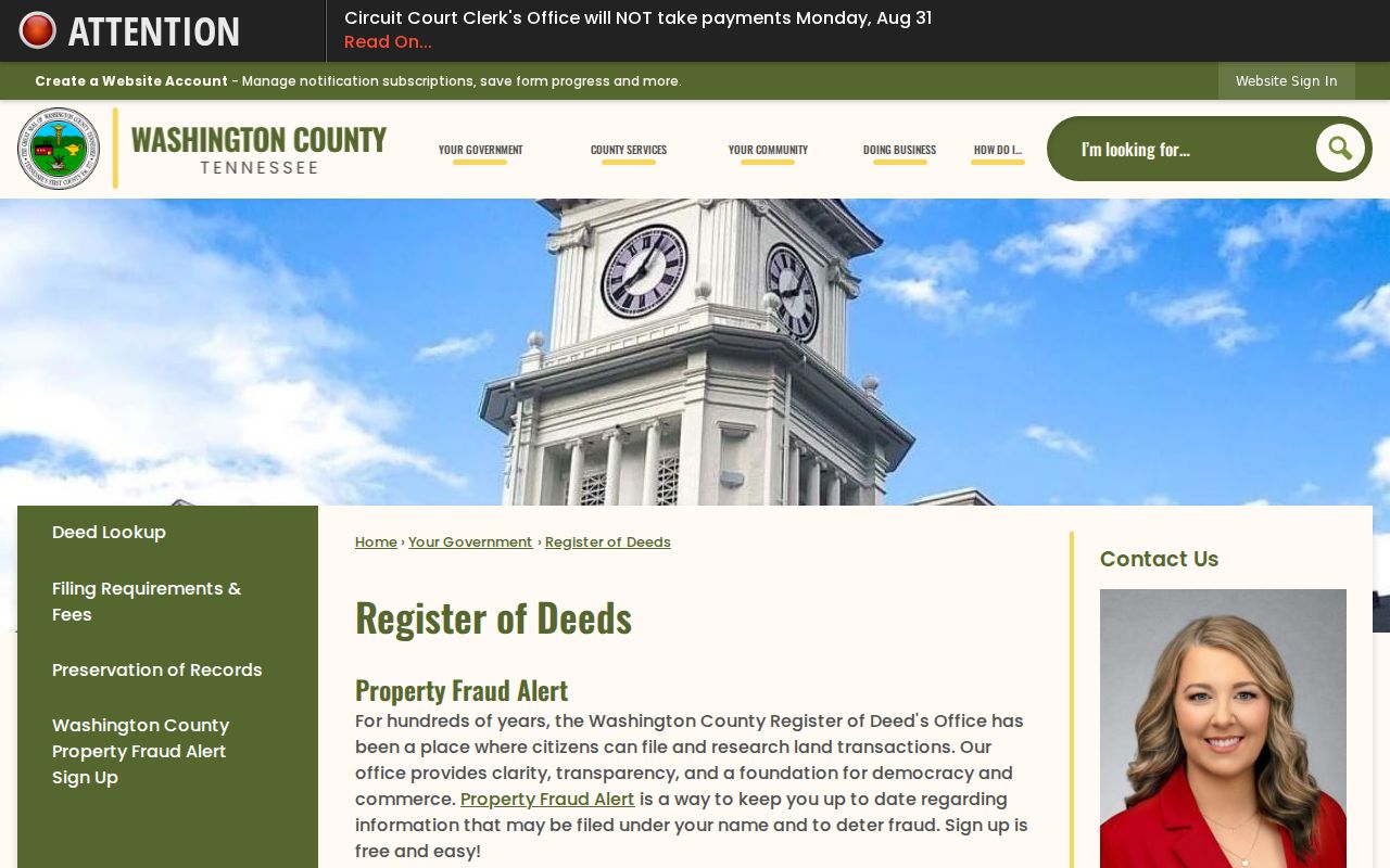
Washington County recorded land instruments are kept by the Register of Deeds at the Historic Courthouse in Jonesborough, not at a Johnson City deed counter. The office records deeds, powers of attorney, mortgages and deeds of trust, liens, contracts, plats, leases, and UCC fixture filings. Its official page does not identify a browser-based grantor/grantee index, its field list, or an online cutoff. Ask staff about the available counter, terminal, book, and copy route rather than assuming a complete web search exists.
The Washington County Register of Deeds explains the office's recorded-instrument and Property Fraud Alert services.
Use the current owner's name, parcel identifiers, and legal description to ask for the purchase deed and its prior-deed reference. Washington County Archives and Tennessee State Library and Archives microfilm can extend the trail when a counter search reaches an older series. Deed Book A covers 1775 through 1782 material, but a deed chain records legal interests, not every resident who occupied an address.
CityView Street Work
Johnson City CityView adds a municipal address layer. Its Permit Locator can search by application number, address, parcel number, or permit-contact name and address. The Property Locator accepts a street address or parcel number and leads to Property Review. A reviewed property result showed parcel data, legal description, multiple address rows, owner and historic-owner contacts, zone details, permit applications, and planning applications.
That detail is useful for explaining a construction, planning, or code timeline along a street. A permit result can identify an application, work class, issue date, owner or contact, and description. It does not show every occupant, and documents may have reproduction restrictions. CityView also displayed an email-scam alert during research, so use the official portal address rather than an unexpected message link.
Note: A parcel with several unit addresses can have several CityView rows, so check the exact unit before linking a permit event to a particular address.
Johnson City Voter Check
Voter tools can confirm a specific person's registration workflow, not supply a public roster for an entire Johnson City street. GoVoteTN provides a Search By Voter mode using first and last name with an optional ZIP, plus a Search By Address mode using street address and ZIP. Results support polling, sample-ballot, elected-official, and district information. They do not disclose ballot choices.
Permanent registration records are public under Tennessee law with sensitive identifiers excluded, but a bulk voter list or map requires a political-purpose certification. The exact Washington County form, fee, format, and turnaround were not located. The Washington County Election Commission is the right source for current public-inspection procedure. An inactive or cancelled status can reflect statutory list maintenance rather than a conclusion about a person's present location.
Tennessee Room Addresses
The Johnson City Public Library Tennessee Room is the local bridge from a modern address to historical material. It offers non-circulating regional genealogy holdings, on-site microfilm, Ancestry Library Edition, FamilySearch, HeritageQuest, and a fully indexed Johnson City Press archive from 1934. The confirmed city-directory call number is F444.J6A, with documented runs and gaps. A publication entry is a contact and address observation from its compilation period, not a certified occupancy record.
No public source located a complete Johnson City reverse or criss-cross shelf list. Ask staff to check the catalog and relevant licensed collections using the terms reverse, criss-cross, address, telephone, and Johnson City. Pair any address entry with an adjacent directory year, census material, a deed, or the Press archive. The historical collections receive fuller treatment in the Johnson City city directories.
Johnson City Address Terms
Several address terms in a Johnson City street directory carry different legal weight. Reading them correctly prevents a tax-contact address, map point, or old listing from being treated as the same thing as the physical parcel.
- Parcel
- A tax-assessment unit identified in Washington County by control map, group, and parcel fields. It ties the assessment roll to map and deed work.
- Situs address
- The physical property or building location. TPAD, GIS, permit, and city-limit work are commonly keyed to this address.
- Mailing address
- The tax or contact delivery address for an owner. It can be outside the parcel, ZIP area, or city and does not prove residence.
- Plat
- A recorded survey or subdivision map that can identify a lot, block, and parcel geometry when the street address is missing or has changed.
- Criss-cross directory
- An address-oriented directory, if a local run exists, used to look from a street and number toward a dated contact entry rather than from surname to address.
Johnson City Boundary Check
Neither a Johnson City mailing label nor a GIS parcel proves incorporated-city status. The city's TaxParcels service reaches four counties, while the separate CityLimits layer is updated following annexations and deannexations. Check that layer, the Site Address Point municipality field, and the county holding the parcel before deciding which office controls permits, code activity, or tax records.
Street labels also change over time. Research did not locate a verified citywide renumbering or renaming year for Johnson City. When an old number will not match a current address, use the legal description, subdivision lot, map/group, deed reference, historical city name, or dated directory evidence instead of assuming that the old and new numbers match.
Register Counter Timing
A small Washington County detail matters when a street trail needs a same-day filing check. The Register of Deeds office is open Monday through Friday from 8:00 to 4:30, but recording stops at 4:00. Call before visiting to ask about counter or terminal availability, especially when staff help is needed to locate older books or a prior-deed reference. The office lists in-office copies at $0.25 per page and certified, faxed, mailed, or emailed copies at $1 per page, subject to confirmation of current pricing.
That official copy route is safer than responding to a deed-copy mailer. Tennessee consumer guidance described mailers offering copies for far more than the county's basic per-page cost. The Register's free Property Fraud Alert can notify a subscriber about filings under a name, but an alert is not title insurance or a resolution of a disputed document.
Johnson City Street Limits
A Johnson City street directory can identify public land records and dated address clues. It cannot reveal every renter, guest, adult child, or other household member. Driver-record addresses are restricted by the federal Driver's Privacy Protection Act, and utility customer and delivery data are not general public resident indexes. Safe at Home participants and protected voters may also have special address handling. Absence from one public record is not proof that a person is absent from the area.