
Johnson City ZIP Coverage
Four Census ZIP Code Tabulation Areas intersect Johnson City: 37601, 37604, 37614, and 37615. A ZCTA is a Census geography built from ZIP data, not a promise that every address carrying the ZIP lies within city limits. The documented coverage is intentionally cautious where an official source did not identify an exact neighborhood line or post-office station. USPS remains the authority for the delivery ZIP, ZIP+4, and preferred city label for one address.
| ZIP | Areas covered | Post office | Research note |
|---|---|---|---|
| 37601 | Central, eastern, and northern Johnson City address geography, including many city addresses | Johnson City delivery area; exact station name not located | Census ZCTA confirmed; it is not the same as the city boundary. |
| 37604 | Southern and western Johnson City and the surrounding delivery area | Johnson City delivery area; exact station name not located | City records show Johnson City 37604 examples; county and outside-city overlap is possible. |
| 37614 | Johnson City ZCTA identified in the Census place search | Not located in the reviewed official material | Confirm the exact street address with USPS; the ZIP may cover non-city county pockets. |
| 37615 | Johnson City ZCTA identified in the Census place search | Not located in the reviewed official material | Confirm the exact street address with USPS; ZCTA and city geography can differ. |
The Census Johnson City place search identifies the four intersecting ZCTAs. It should not be used as a street-level delivery tool. A specific parcel may have a Johnson City postal label while falling outside the current incorporated limits, and a parcel within the city may use a postal label that does not state its legal municipality.
Verify Johnson City ZIPs
Use the official USPS tool before treating a ZIP code as location evidence. Enter the full address in the USPS ZIP Code Lookup to confirm the delivery ZIP, ZIP+4, and preferred postal city label. This matters most for 37614 and 37615, where the reviewed local material did not establish a named neighborhood or station boundary. It also avoids carrying a rough ZCTA boundary into an address-specific search.
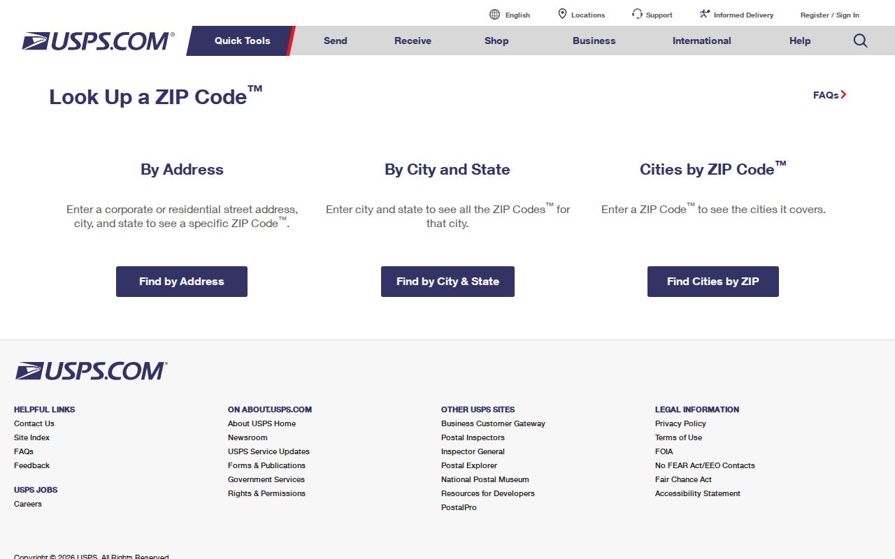
A USPS result verifies mail delivery, not city jurisdiction or occupancy. Record the returned ZIP+4 with the street address, then check municipal limits and the appropriate county before routing a records question. The postal label is one part of the address, while the site address, parcel, and legal description serve different record systems.
Find Residents by ZIP
A Johnson City ZIP code directory works best as a way to narrow a known person or address, not as a ZIP-wide household list. The local portals do not offer a confirmed general resident roster by ZIP. Start with the exact address or an identified person, use the ZIP where a tool specifically accepts it, and then confirm the result against the office that keeps the underlying record.
- Confirm the exact address and ZIP with USPS, including the ZIP+4 when it is returned.
- For voter information, use GoVoteTN's address-and-ZIP mode or name-and-optional-ZIP mode. It can return a person's polling and district information, not a ZIP-wide list.
- Search TPAD by property address, owner, parcel, subdivision, or other available assessment fields. Do not expect a ZIP field, because none was exposed in the inspected advanced form.
- Use the county or city GIS by address, property ID, or owner. Check its jurisdiction and municipal layers, then move to the relevant county or city custodian.
- When the ZIP has narrowed the question to a road or parcel, use the Johnson City street directory for the address-led property, deed, permit, and historical trail.
For historical work, replace the ZIP with a dated street address, a census enumeration district, or a legal description. ZIP codes arrived long after Johnson City's earliest directories and deed records, so an older household trail cannot depend on a modern postal code.
GoVoteTN ZIP Checks
GoVoteTN is the local ZIP-capable public workflow documented in the research. Its Search By Voter mode uses a first name and last name with ZIP optional. Its Search By Address mode uses a street address and ZIP. The result is designed for an individual voter’s sample ballot, polling location, elected officials, and district information. It is not a Johnson City ZIP code directory of everyone at a street or within a postal area.
| GoVoteTN field or mode | Format | Required | Limit |
|---|---|---|---|
| Search By Voter | First name and last name | Yes | Identifies a voter-specific workflow, not a bulk search. |
| ZIP in voter search | ZIP code | Optional | Helps narrow an already named person. |
| Search By Address | Street address plus ZIP | Yes | Returns polling and district information for the entered address. |
| Result information | Polling, sample ballot, officials, districts | Result | Ballot choices are secret and are never public. |
| Bulk voter file | Separate county or state procedure | Separate route | Political-purpose certification applies; the exact Washington County process was not located. |
Permanent registration records are public under Tennessee law with sensitive identifiers excluded. The Washington County Election Commission can explain current public-inspection and correction procedures. A no-result or inactive status should not be read as a conclusion about a person's physical presence at an address.
Johnson City Parcel ZIP Limits
TPAD is strong for an address or parcel but is not a ZIP search tool. Its inspected controls include County, Search Term, Owner, Property Address, Subdivision Name, Classification, Sale Date Start and End, Control Map, Group, Parcel, and Sort By. The visible sorting options include Property Address, which can help organize a street pass after USPS has confirmed the postal ZIP. No ZIP field was exposed in the advanced assessment form.
| Local record source | How ZIP relates | Best use |
|---|---|---|
| TPAD | No ZIP field in inspected advanced search | Search the exact property address, owner, or parcel. |
| Washington County GIS | Searches property ID, address, or owner | Locate parcel geometry and county details. |
| Johnson City Site Address Points | Includes owner mailing ZIP as a layer field | Read an address point's service and jurisdiction context. |
| CityView | Accepts address or parcel, not ZIP | Review permit, planning, and property records by address. |
The owner mailing ZIP that appears in a map or parcel layer can be outside the property’s ZIP or city. It is a correspondence field, not a finding that the owner occupies the property. The assessment roll also reflects official ownership as of January 1, so a recorded transfer later in the year may be newer than the tax-roll owner.
Johnson City Postal Geography
The Johnson City TaxParcels service is useful after an address has been confirmed, because its fields include address, owner, Jan. 1 owner, tax year, GISLINK, jurisdiction, zoning, subdivision, and utility information. The service area spans Washington, Sullivan, Carter, and Unicoi counties. That regional reach is precisely why a postal city name and a parcel result should not be treated as proof of incorporated-city limits.
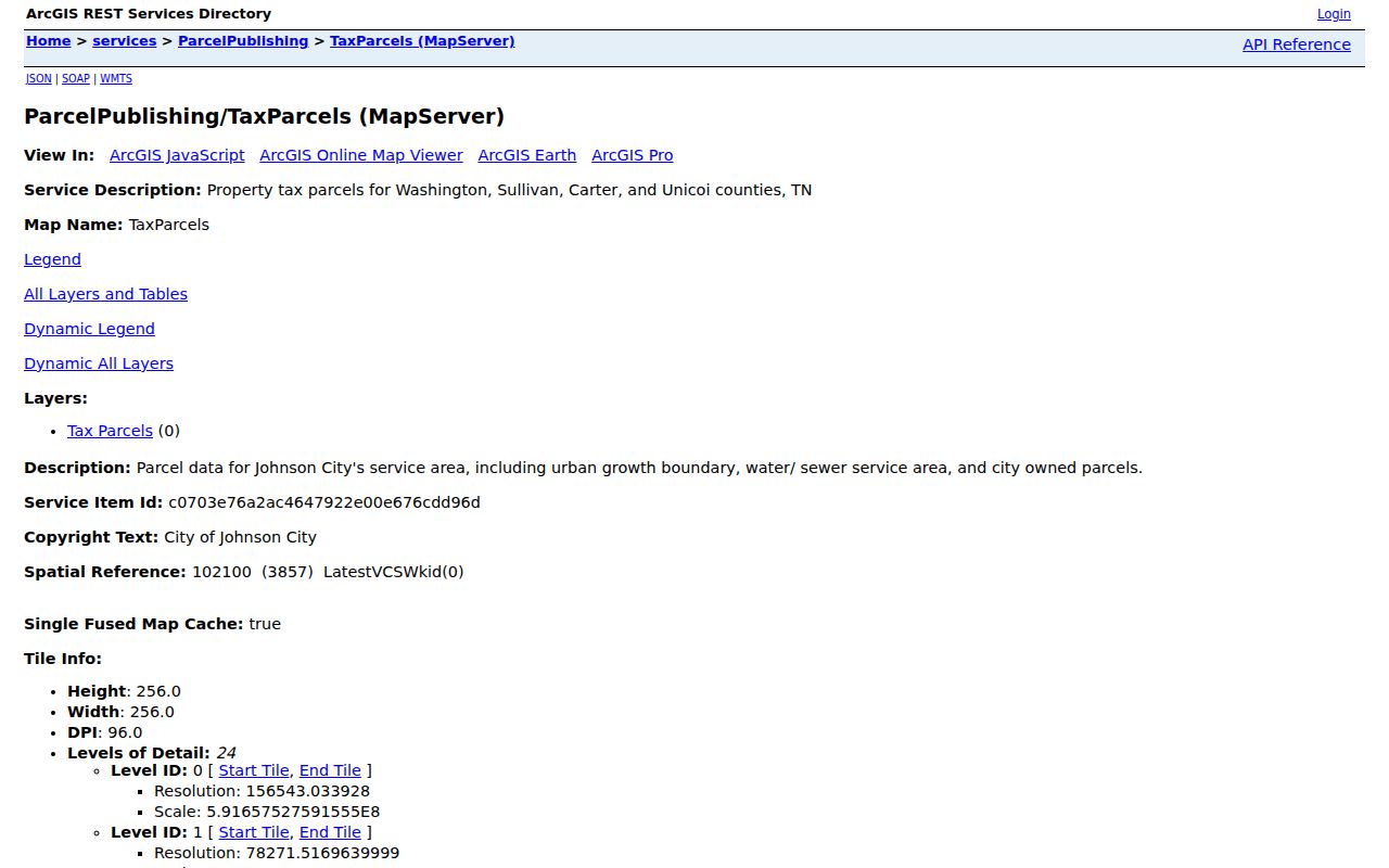
Use a parcel's GIS link and jurisdiction as a bridge to the correct custodian. A parcel map can show land relationships and government-service layers around a ZIP-verified address. It cannot establish who currently occupies a building or turn the ZIP into a legal boundary.
Johnson City City-Limit Mismatch
ZIP geography and municipal geography are separate systems. The Johnson City CityLimits layer is updated after annexations and deannexations, while the TaxParcels service reaches beyond the city into four counties. An address can display Johnson City as its postal city and still be outside current city limits. Conversely, the postal label associated with a ZIP does not decide a parcel's legal municipality.
Note: City-limit changes and postal delivery patterns do not necessarily happen together, so a current map layer is more reliable than a ZIP city name for jurisdiction.
Johnson City Address Terms
Postal and property vocabulary overlap on an address, but each term is used for a different purpose. These distinctions matter when a Johnson City ZIP code result is carried into a county, city, or historical record search.
- ZIP code
- A Postal Service delivery code. It helps route mail and narrow a lookup, but it is not a city-boundary or occupancy record.
- ZIP+4
- An added four-digit delivery detail returned for a specific address. USPS is the source to confirm it.
- PO-box ZIP
- A ZIP used for post-office boxes. It identifies a postal delivery arrangement, not the physical location of a home or parcel.
- Unique ZIP
- A ZIP assigned for a single organization or facility. The reviewed Johnson City research did not identify a verified local example.
- Carrier route
- A delivery-route grouping used by postal operations. It should not be treated as a neighborhood boundary or a list of residents.
- Situs address
- The physical parcel or building address used by assessment, GIS, permit, and city-limit systems.
ZIP Codes After Directories
Historical Johnson City research needs an address vocabulary older than ZIP codes. The Tennessee Room's city-directory collections, census material, deed references, plats, and legal descriptions offer the proper time-based bridge. The Library's Johnson City Press archive is indexed from 1934 under its access conditions, and county Archives and Tennessee State Library and Archives holdings extend the land and court trail further back. Search the street, neighborhood wording, and historical city labels instead of forcing a modern ZIP onto an early record.
Johnson City began as Johnson's Depot and briefly used the name Haynesville before returning to Johnson City. That naming history, railroad growth, annexations, and changing street patterns can matter when an older directory description does not resemble today's postal geography. No verified ZIP realignment or split year was located in the official research, so historical ZIP changes should be checked against archived USPS material and dated local records rather than assumed.
Johnson City ZIP Privacy
A ZIP code narrows geography but does not make private household facts public. Parcel records may show legal ownership and mailing information; voter tools are person-specific and restricted by their own rules; utility and delivery-customer lists are not general public indexes. Safe at Home and protected-voter procedures can affect how an address is handled. Lack of a result is not proof that someone does not live in a ZIP area.
Use ZIP-based information for lawful personal research, family history, property questions, and consumer-safety verification. Do not use an address, postal label, or public record to monitor, threaten, intimidate, stalk, or harass anyone. For an error in an official record, contact the agency that holds that record rather than confronting a person or relying on a postal match alone.